Mud Mountain Dam (White River)
33 mi south · US Army Corps of Engineers
Upon completion in 1948, Mud Mountain Dam was the highest rock and earth-filled dam in the world.
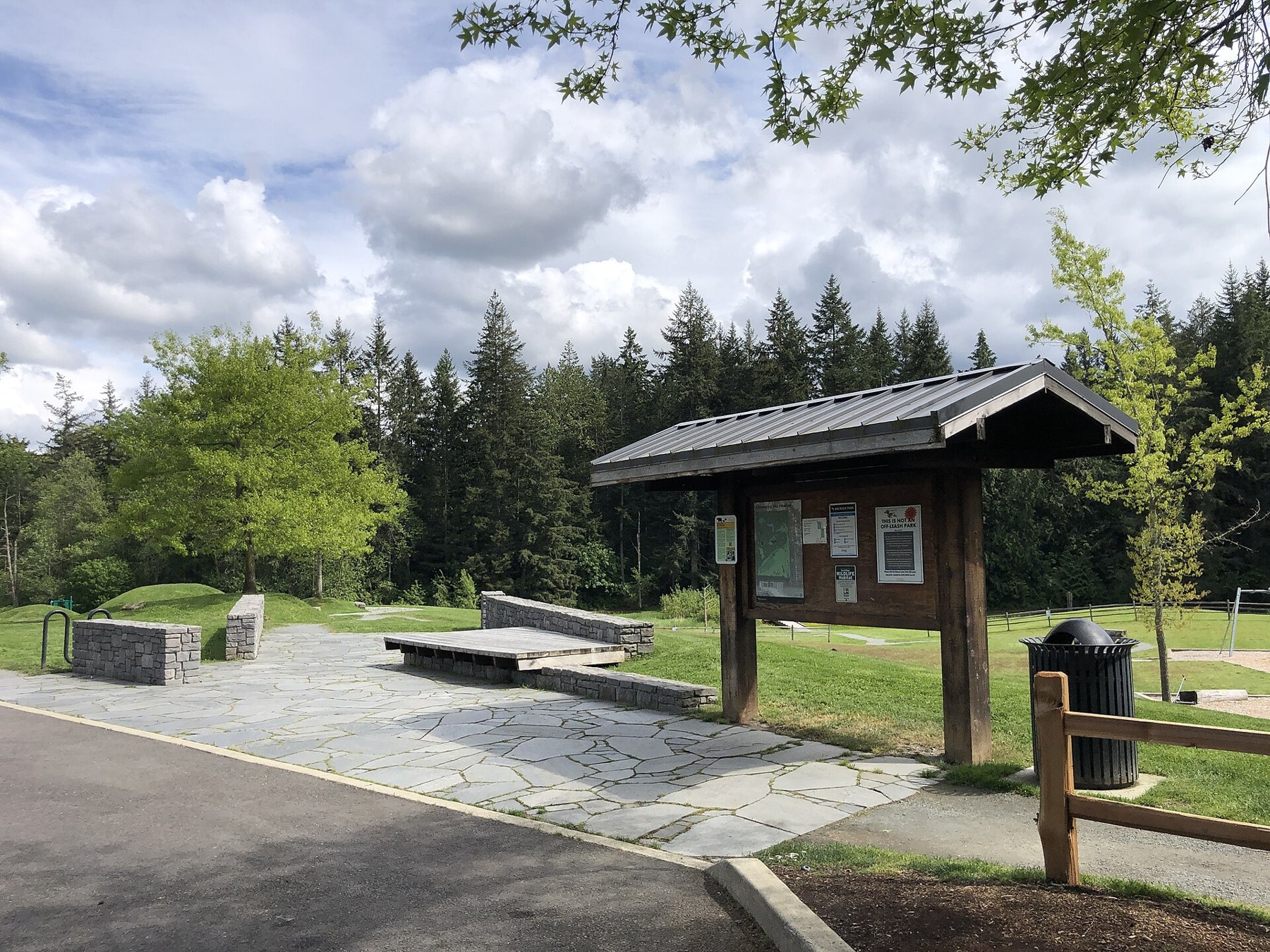
Outdoors
Day-use and picnic areas near Sammamish on public land, from quick drives to full-day outings.
Good to know: Group picnic sites can often be reserved; fire rules change with the season, so check before bringing a grill.
33 mi south · US Army Corps of Engineers
Upon completion in 1948, Mud Mountain Dam was the highest rock and earth-filled dam in the world.
34 mi southeast · Bureau of Reclamation
Keechelus Dam which is part of the Yakima Project was constructed at the lower end of a natural lake. The reservoir is located on the Yakima River about 10 miles northwest of Easton. This lake contains 2,560 water-surface acres.
47 mi southeast · Bureau of Reclamation
Easton Diversion Dam , Yakima Project , is located on the Yakima River near the town of Easton, Washington the area has 112 acres of land, 240 water surface acres and 1 mile of shoreline.
Map of 15 places loads as you scroll.
Upon completion in 1948, Mud Mountain Dam was the highest rock and earth-filled dam in the world.
Keechelus Dam which is part of the Yakima Project was constructed at the lower end of a natural lake. The reservoir is located on the Yakima River about 10 miles northwest of Easton. This lake contains 2,560 water-surface acres.
Easton Diversion Dam , Yakima Project , is located on the Yakima River near the town of Easton, Washington the area has 112 acres of land, 240 water surface acres and 1 mile of shoreline.
Operated as part of Fort Casey State Park. Fort Casey State Park (including Keystone Spit) is comprised of 411.46 acres with 7,000 feet of freshwate frontage and 110,810 feet of saltwater shoreline on Admiralty Inlet.
This stunning landscape on the Salish Sea, with its rich farmland and promising seaport, lured the earliest American pioneers north of the Columbia River to Ebey’s Landing.
Cle Elum Dam and Lake, of the Yakima Project , are on the Cle Elum River 8 miles northwest of Cle Elum, Washington. Cle Elum, Kachess, and Keechelus reservoirs are in the Wenatchee National Forest.
Located on the North Fork of the Tieton River, 34 miles southwest of Naches, WA, Clear Lake Reservoir is created by Clear Creek Dam . The surface area of the reservoir is 260 acres.
With its incredible range of precipitation and elevation, diversity is the hallmark of Olympic National Park.
Originally created as the Olympic Forest Reserve in 1897, the Olympic National Forest encompasses roughly 632,000 acres of varied landscape on the Olympic Peninsula in Washington state.
San Juan Island is well known for its splendid vistas, saltwater shores, quiet woodlands, orca whales and one of the last remaining native prairies in the Puget Sound/Northern Straits region.
Rimrock Lake which is part of the Yakima Project was formed by the construction of Tieton Dam on the Tieton River. Bumping, Rimrock, and Clear Lakes are in Wenatchee National Forest.
The gentle Yakima River winds through rolling desert hills and basalt cliffs, some rising more than 2,000 feet, for 27 miles between Ellensburg and Yakima, Washington.
Distances are straight-line miles from the center of Sammamish. Listings come from Recreation.gov’s federal recreation database; check each official page for hours, fees, fire restrictions and closures before you go.

THINGS TO DO · YOUTUBE SHORT
A local activity Short.
Watch on YouTube ↗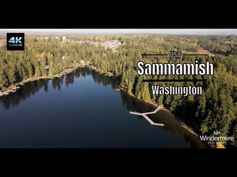
THINGS TO DO · YOUTUBE SHORT
A local activity video.
Watch on YouTube ↗


Mud Mountain Dam (White River) (US Army Corps of Engineers), about 33 miles south of Sammamish as the crow flies. Next are Keechelus Lake (34 mi) and Easton Diversion Dam (47 mi).
Based on Sammamish’s average highs, May–October. Conditions at higher elevations can be much cooler.
Federal agencies including Bureau of Reclamation, USDA Forest Service, National Park Service. Each listing links to its official page for hours, fees, closures and current conditions.