Lake Washington Ship Canal
17 mi west · US Army Corps of Engineers
The Hiram M. Chittenden Locks is the most popular site along the Lake Washington Ship Canal. The diversity of visitors from around the world attests to its universal appeal.
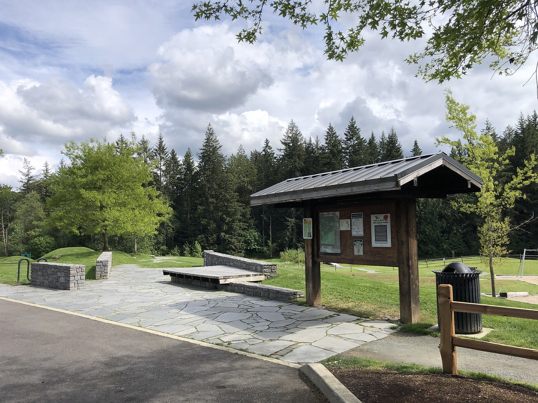
Outdoors
Refuges, lakes and wild areas near Sammamish for wildlife viewing and birdwatching.
Good to know: Early mornings and evenings are best for wildlife; bring binoculars and keep a respectful distance.
17 mi west · US Army Corps of Engineers
The Hiram M. Chittenden Locks is the most popular site along the Lake Washington Ship Canal. The diversity of visitors from around the world attests to its universal appeal.
24 mi east · USDA Forest Service
This campground is located along the Middle Fork of the scenic Snoqualmie River in Mt. Baker-Snoqualmie National Forest.
28 mi northeast · USDA Forest Service
The Heybrook Lookout sits atop its namesake ridge at 1,700 feet. The lookout itself rises 67 feet above the ridgeline and provides spectacular views of breathtaking glacial peaks surrounding the valley.
Map of 20 places loads as you scroll.
The Hiram M. Chittenden Locks is the most popular site along the Lake Washington Ship Canal. The diversity of visitors from around the world attests to its universal appeal.
This campground is located along the Middle Fork of the scenic Snoqualmie River in Mt. Baker-Snoqualmie National Forest.
The Heybrook Lookout sits atop its namesake ridge at 1,700 feet. The lookout itself rises 67 feet above the ridgeline and provides spectacular views of breathtaking glacial peaks surrounding the valley.
Situated along the banks of the tranquil Miller River in Mt. Baker-Snoqualmie National Forest, the Miller River Group Campground offers some of the most stunning scenery in the northern Cascade Range in Washington.
Upon completion in 1948, Mud Mountain Dam was the highest rock and earth-filled dam in the world.
Situated along at the banks of the tranquil Beckler River in Mt. Baker-Snoqualmie National Forest, this campground offers some of the most stunning scenery in the Northern Cascade Range of Washington.
This campground is located approximately 20 miles east of Index, Washington in the Mt. Baker-Snoqualmie National Forest.
In 1974, in recognition of the area's unique fish and wildlife resources, Billy Frank Jr. Nisqually National Wildlife Refuge was established with approval by the Migratory Bird Conservation Commission.
Operated as part of Fort Casey State Park. Fort Casey State Park (including Keystone Spit) is comprised of 411.46 acres with 7,000 feet of freshwate frontage and 110,810 feet of saltwater shoreline on Admiralty Inlet.
This stunning landscape on the Salish Sea, with its rich farmland and promising seaport, lured the earliest American pioneers north of the Columbia River to Ebey’s Landing.
Ascending to 14,410 feet above sea level, Mount Rainier stands as an icon in the Washington landscape. An active volcano, Mount Rainier is the most glaciated peak in the contiguous U.S.A., spawning five major rivers.
Dungeness National Wildlife Refuge was established by Executive Order on January 20, 1915 for the land to be “ . . . as a refuge, preserve and breeding ground for native birds.
With its incredible range of precipitation and elevation, diversity is the hallmark of Olympic National Park.
In October of 1976 the San Juan Wilderness was established, which added the purposes of the Wilderness Act (Sept. 3, 1964) including “ . . .
Originally created as the Olympic Forest Reserve in 1897, the Olympic National Forest encompasses roughly 632,000 acres of varied landscape on the Olympic Peninsula in Washington state.
San Juan Island is well known for its splendid vistas, saltwater shores, quiet woodlands, orca whales and one of the last remaining native prairies in the Puget Sound/Northern Straits region.
The gentle Yakima River winds through rolling desert hills and basalt cliffs, some rising more than 2,000 feet, for 27 miles between Ellensburg and Yakima, Washington.
Distances are straight-line miles from the center of Sammamish. Listings come from Recreation.gov’s federal recreation database; check each official page for hours, fees, fire restrictions and closures before you go.
THINGS TO DO · YOUTUBE SHORT
A local activity Short.
Watch on YouTube ↗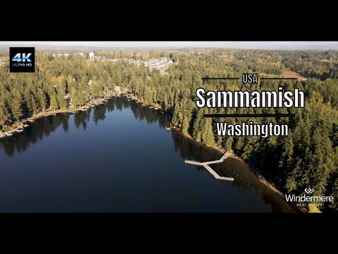
THINGS TO DO · YOUTUBE SHORT
A local activity video.
Watch on YouTube ↗


Lake Washington Ship Canal (US Army Corps of Engineers), about 17 miles west of Sammamish as the crow flies. Next are Middle Fork Campground (24 mi) and Heybrook Lookout (28 mi).
Federal agencies including USDA Forest Service, National Park Service, US Army Corps of Engineers. Each listing links to its official page for hours, fees, closures and current conditions.